Flores Island sits in East Nusa Tenggara province, stretching between 118° and 125° east longitude and 8° to 11° south latitude. The province itself covers 49,880 square kilometers and is home to roughly 3.5 million people spread across land and sea. If you’re looking for Flores tourist information, this guide breaks down what makes the island unique, where to go, and how the surrounding islands fit into the bigger picture.
Flores is one of three main islands in the province, alongside Sumba and Timor. Locals often refer to them as FLOBAMOR, a name built from the first syllables of each island. In total, East Nusa Tenggara consists of 566 islands, many of which are tiny, unnamed islets with no permanent population. Flores anchors the central chain and acts as the main corridor for overland travel and cultural exploration.
Why Flores Stands Out
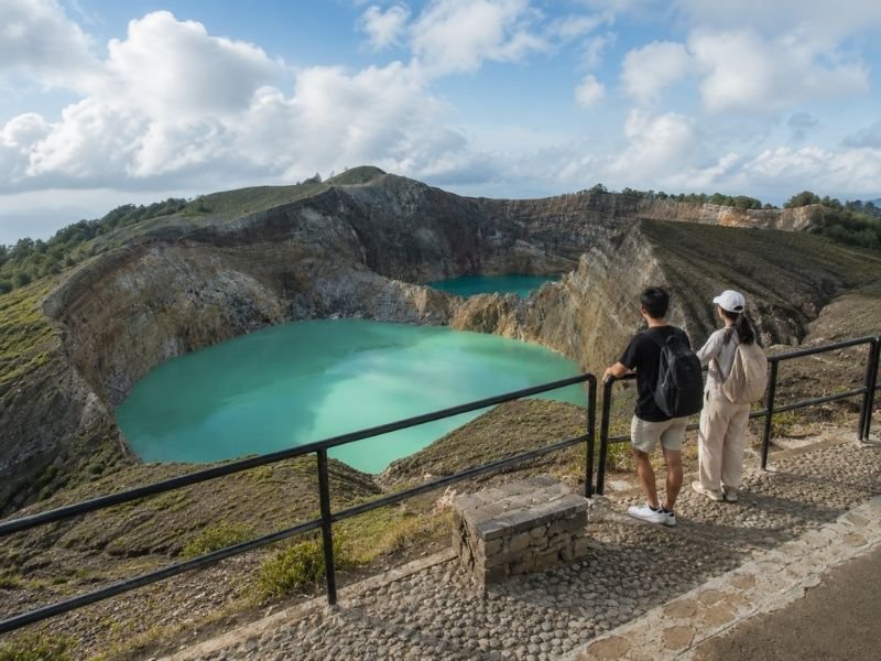
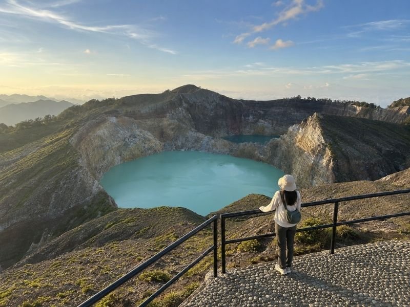
For most travelers seeking Flores tourist information, Mount Kelimutu is the starting point. The volcano rises to 1,792 meters and holds three crater lakes that shift between blue, green, red, and brown depending on volcanic activity and weather. Reaching the summit for sunrise is the highlight of nearly every Flores itinerary. Most operators run a 3-day, 2-night Flores Kelimutu trip starting from either Maumere or Ende.
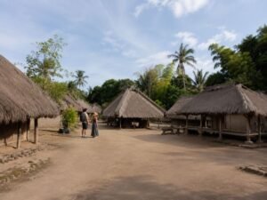
If you enter through Maumere, the route back from Kelimutu often includes a stop at Sikka Village, known for its traditional ikat weaving. Starting from Ende gives you the chance to visit the former exile house of Sukarno, Indonesia’s first president. Both routes offer a mix of natural scenery and living culture that makes the trip more than just a mountain climb.
For travelers who want more than one stop, the overland Komodo–Flores route is the classic adventure. It begins on Komodo Island, where rangers guide you through dry forest to see Komodo dragons in the wild. From there, the journey moves east through Labuan Bajo, Ruteng, Bajawa, Ende, and Moni before ending near Kelimutu. Along the way you’ll pass spider-web rice fields in Cancar, megalithic sites in Bajawa, and traditional villages where weaving and ceremonies are part of daily life.
Beyond Flores: Sumba and Timor
Flores tourist information isn’t complete without understanding the wider province. Sumba Island is renowned for its megalithic tombs, handwoven textiles, and annual Pasola horse-spear festival. It’s quieter and more rugged than Flores, making it ideal for travelers interested in anthropology and untouched coastlines.
Timor is the provincial capital’s home island, with Kupang serving as the administrative and economic center. It’s also the highest point in the province—Mount Mutis reaches 2,427 meters. Compared to Flores and Timor, Lombok’s Mount Rinjani is taller at 3,726 meters, but Flores and Timor offer easier access to highland culture and volcanic landscapes without the extreme trekking demands.
Geology and Landscape
Geologists split East Nusa Tenggara into two distinct zones. The inner volcanic arc forms a chain of fertile islands: Rinca, Komodo, Flores, Alor, Pantar, Adonara, Lembata, and Solor. These islands have rich volcanic soil that supports coffee, clove, and rice farming in the highlands.
The outer arc is made of uplifted limestone and coral rock, creating the drier islands of Sumba, Sabu, Rote, Semau, and Timor. This contrast explains why Flores feels green and mountainous while Sumba and Timor are more open and savanna-like.
About 57% of the province is hilly or mountainous, which shapes both transport and culture. Roads wind through valleys and ridges, and many communities remain distinct because of the terrain. That’s why overland travel in Flores feels like moving through a series of micro-regions, each with its own dialect, weaving pattern, and house architecture.
Practical Notes for Planning
When using Flores tourist information to plan your trip, keep these points in mind:
- Best time to visit:
April to December is dry season. January to March brings heavy rain, which can close Kelimutu and make overland roads slippery.
- Getting around:
Labuan Bajo and Maumere have airports. Overland routes connect most major towns, but distances are long and roads are winding. Hire a driver or join a tour for comfort.
- Culture first:
Village visits and weaving centers are part of daily life, not staged shows. Ask permission before taking photos and respect local customs.
- Altitude and climate:
Highland towns like Ruteng and Bajawa sit around 1,000–1,200 meters. Nights are cool, even when lowland areas are hot.